We learned about the traffic problem yesterday, so today we were up early, had a quick breakfast and were off at 9:00am, heading for Glacier Point. two miles to the Gate, then down to Wawona (5 miles) and on to Chinquapin (about 15 miles). A very twisty road with lots of corners to worry Luz. On the right hand side of the road (our side) the hills rose steeply above us. On the left side, which we didn't really see, the ground fell away fast. Trees everywhere: how many? At Chinquapin we turned right up the Glacier Point road and finally dropped down the steep, narrow, twisty road to the point. Here we were lucky, there were already many cars parked but we found a good parking place, near the 'very smelly rest-rooms'.
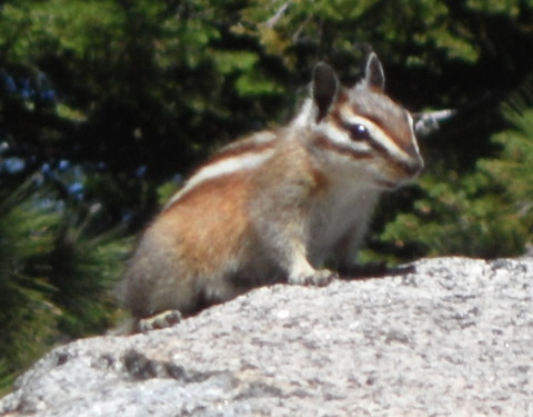
We walked out to the point, pausing to photograph a chipmunk,
Figure 10. Chipmunk at Glacier Point, Wednesday, July 13, 2011

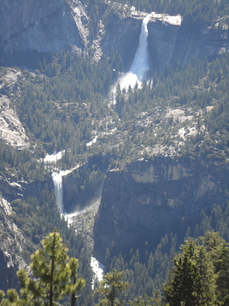
and stopped at the overlook over the Yosemite Valley far below. First looking down at the Nevada Fall with Half Dome above it, and below that the Vernal Fall reaching almost to the valley floor.
Figure 11. Nevada Fall (upper) and Vernal Fall (lower) from Glacier Point, Wednesday, July 13, 2011

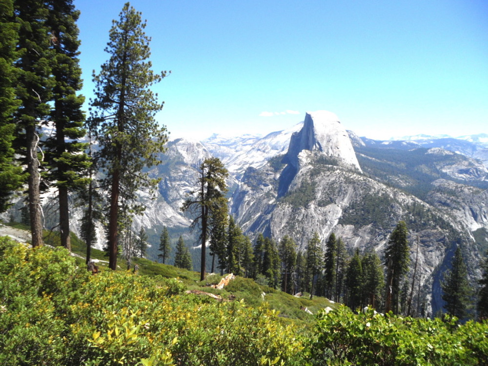
Above and beyond Half Dome there was Clouds Rest mountain, and in the distance the highest mountains of the California Sierra Nevada, the Clark range. Across the valley we could see Basket Dome and North Dome. Then we went along the trail to the overhang rock and looked down into the valley 4000 feet below and across to the Yosemite Fall on the other side of the valley. Returning to the concession at the point we had ice-creams before taking the Panorama Trail along the edge of the ridge with views of the Little Yosemite valley above Nevada Fall with the sharp peak of Starr King mountain beyond. After holding up a huge rock which was threatening to fall down (see photo) we stopped just before the trail started the descent to Nevada Fall and after another view of Half Dome behind Liberty Cap
Figure 12. Half Dome from the Panorama Trail at Glacier Point, Wednesday, July 13, 2011

we returned to the point. here we sat quiet in the sun for a quarter of an hour before driving back to Chinquapin, stopping briefly at Taft Point, and Wawona with the drop on the side of the road and next to Luz (but see tomorrow about this).
At Wawona we turned up the Chilnuualna falls road for a few miles, past the only private property in the park with a school and a library, until we came to a general store (name forgotten, Pine???). Here we bought some very fresh red and green peppers for dinner. Luz also bought some mugs with Yosemite pictures as presents (but see later for the fate of these mugs). Then we drove back down the road to Wawona and back home to Fish Camp by about 4:00pm.
For dinner Ron made vegeatable tacos with peppers, onions, garlic and mushrooms with walnut oil and 1r year balsamic vinegar. Merlot and a white zinfandel. After dinner we walked up the White Chief road as far as the motel, noting all the empty cabins - a ghost town, probably killed by the new Tenaya Lodge nearby. Then back to the Owls's Nest and finally to bed.